Basic characteristics of the product Marushka
Marushka® publishes data from an unlimited number of data storages with extreme speed. Map composition is transmitted in the Internet environment in symbology of data storage or project on the server side. Publishing in HTML client environment allows ordinary Internet browser all the advanced options to control and display maps. The descriptive information of the displayed data graphics, dynamic legend and server-generated printouts, exports to various raster and vector formats are solved by a completely unique way.
An integral part of the solution is the application Marushka Design®; it offers a simple, visual and intuitive environment for configuring and managing the published map compositions, thus allowing management and administration of the map server configuration project.
Map server Marushka® is also a tool to publish data through OGC Web Services standards, such as WMS and WFS. Advanced applications can then use standard Web Service (SOAP) or TCP / IP remoting by Microsoft. NET.
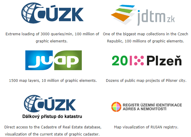
The principal advantage of Marushka® Server is a close connection with the GeoStore® system, especially with GeoStore® V6, which mainly serves as a strong client and database stores administration tool.
Main Features
Architecture
The basic concept of Marushka® is using core, which provides access to the unified graphical presentation of data. Three-layer core is being developed on the component object principle; there is no limitation in terms of possible integration into another applications (.NET) that require processing/ access to geographically referenced data.
Data stores
The data store is an abstract storage space that provides access to the geographical data in vector or raster form. These data stores also offer various services and features above geographical data level, or above descriptive data level.
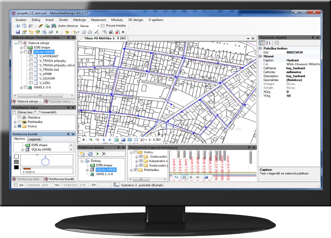
Marushka Design
It is a visual administrative tool for creation of configuration project for server Marushka®. Project is the collection of different data stores, queries, symbols and their settings.
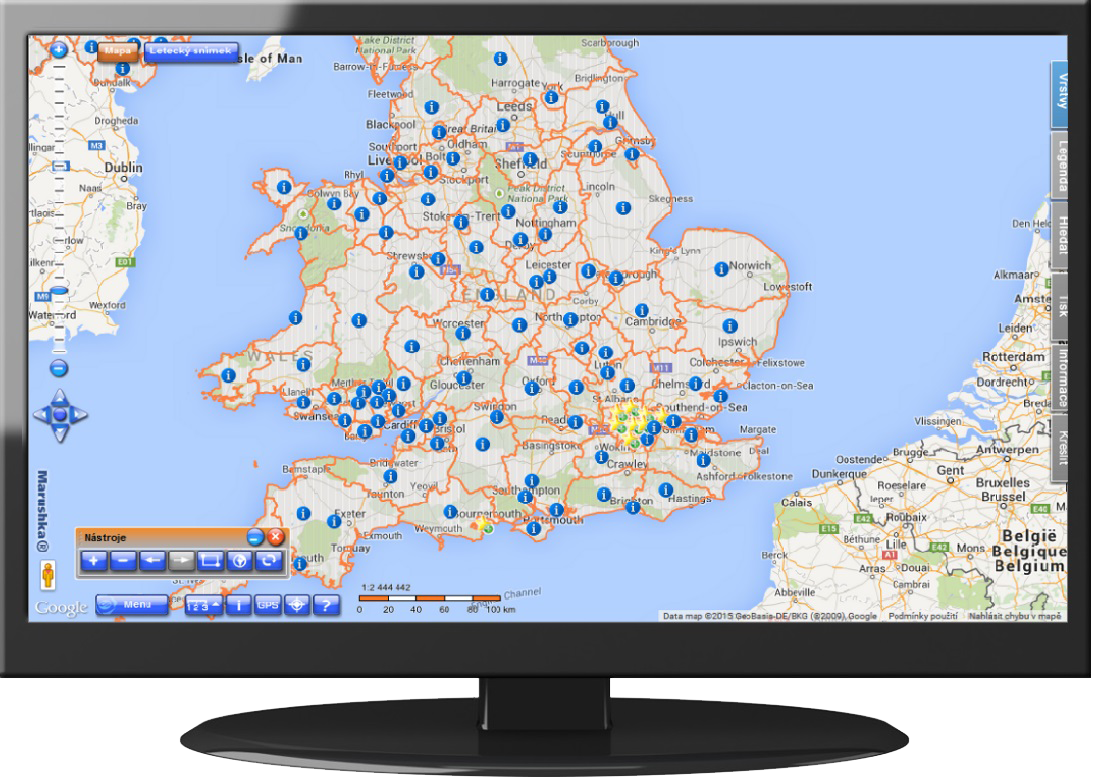
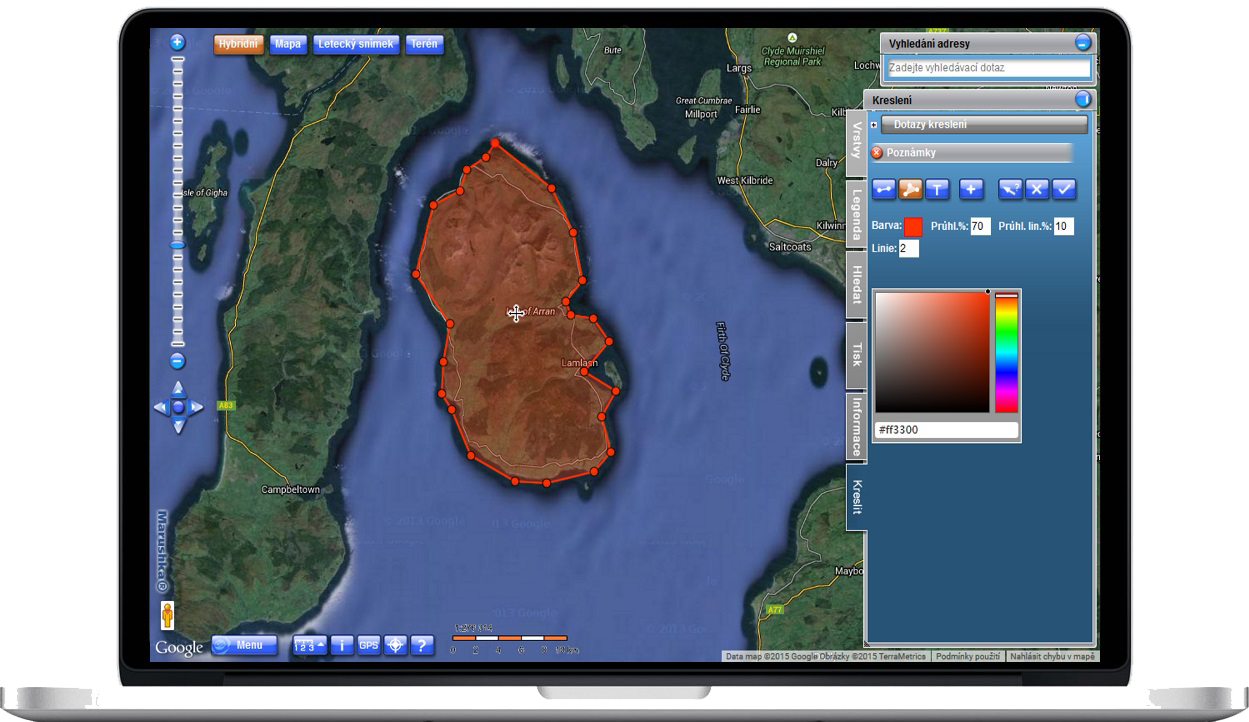
HTML Client and Web Services
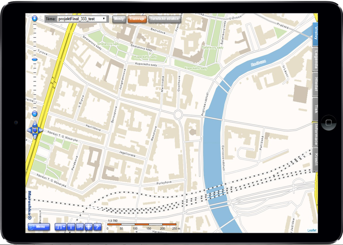
In Marushka®, there is integrated a HTML client. It is used mainly for presentation of map composition of the project. It provides metainformation and offers series of other sophisticated functions. It uses a Web browser as a runtime environment.
Marushka 3D
Map publication server, which allows viewing of point clouds data, displaying of 3D space, generating of profiles etc.
Marushka Desktop
Marushka desktop is a desktop application providing an interface for communication of HTML client of server Marushka and external desktop application. Communication is realized on basis of standard Web services.
Marushka Photo
Marushka Photo is a mobile application used to store images from a mobile device / smartphone into the database, respectively project of Marushka®.