Mobile Mapping

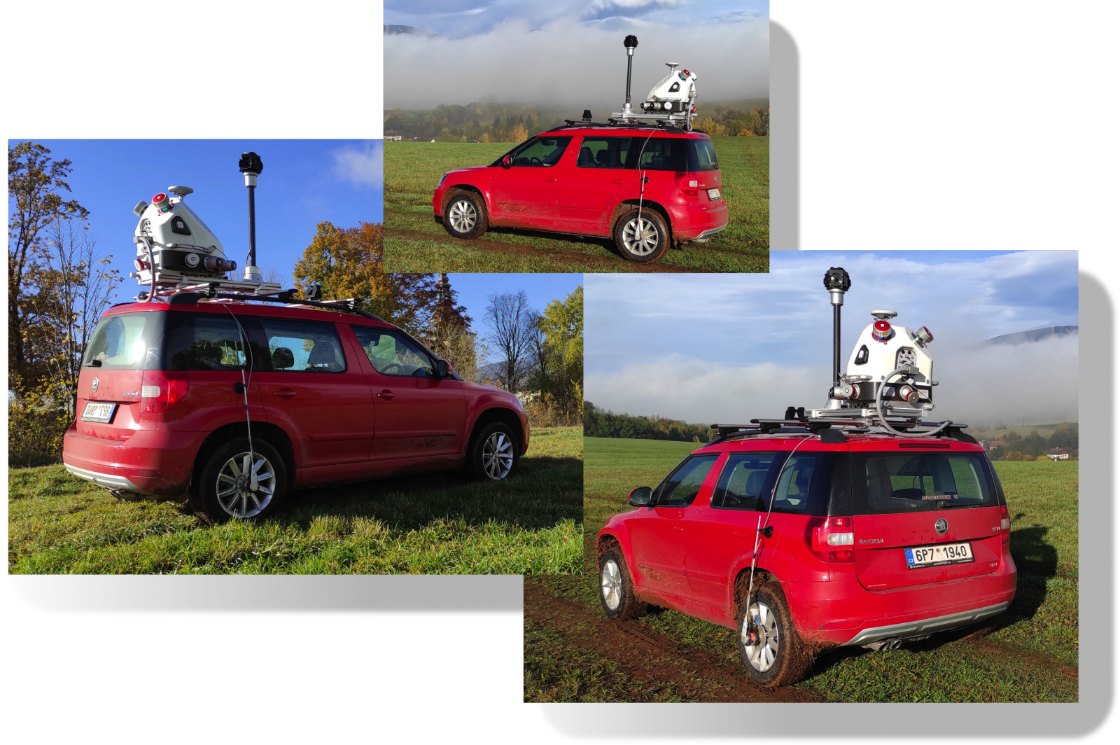
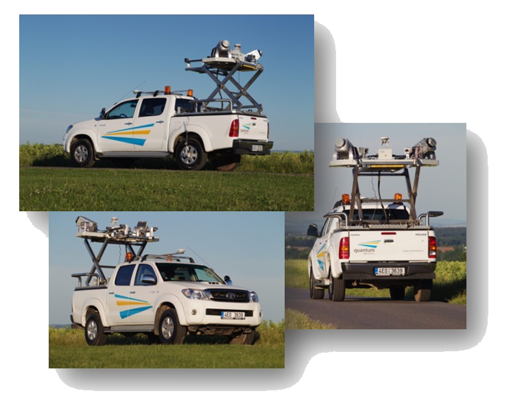
Terrain mapping using Mobile Laser Mapper Systems RIEGL VMX 2HA and LYNX M1.

By combining either RIEGL or Lynx Mobile Laser System technology, software developed by us, our know-how, and many years of experience, we can offer our clients comprehensive geodetic data sets that are particularly useful in road, waterways and transport administration and many other branches.

  • Measurement accuracy comparable to total stations.
  • Operator’s safety. 
  • Customisation/Classification of measured data for various purposes.
  • High speed of data acquisition.
  • Detailed simultaneous surveying of all objects. 
  • Data in open format LAS.
  • No restrictions on transport.
  • High point cloud density.

Benefits of Mobile Mapping

  • quickly obtained background data for design work,
     

  • accurate spatial information about objects on the surface,
     

  • saving up to 3 billion points / day,
     

  • high speed of data acquisition and recording,
     

  • possibility to combine with other map data,
     

  • possibility of height analysis - Hypsometry,
     

  • absolute spatial measurement accuracy + / - 5 cm,
     

  • mapping in 3rd (2nd) accuracy class,
     

  • monitoring of networks and national grid, transit profiles, etc.,
     

  • class 1 laser product (IEC/CDRH) – absolute eyes safety.