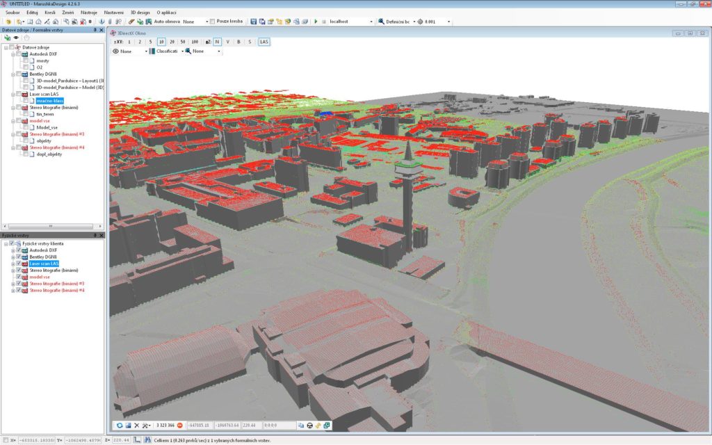
Import/Export
Data integration from various sources, Microstation® DGN, etc.
Commonly supported data formats
- vector files: DXF, DWG, DGN7, DGN8, SHP, WKB, KML22, JSON, OGC GML32, Topografix GPX, STL,
- point cloud: TXT, GLS, LAS, ASCII,
- georeferenced bitmaps: TIFF, GeoTiff, ECW, JPEG, PNG, GIF,
- reading the CSV coordinates.
Data sources
- database: MS SQL, ORACLE, ORACLE Spatial, PostgreSQL, SQLite, remote databases via Marushka communication servers,
- WMS, WFS, WMTS according to OGC specifications,
- definition of all libraries into XML file.